 in Irish Weather History 1")


Satellite Data Shows Most Protected Seas Are Working
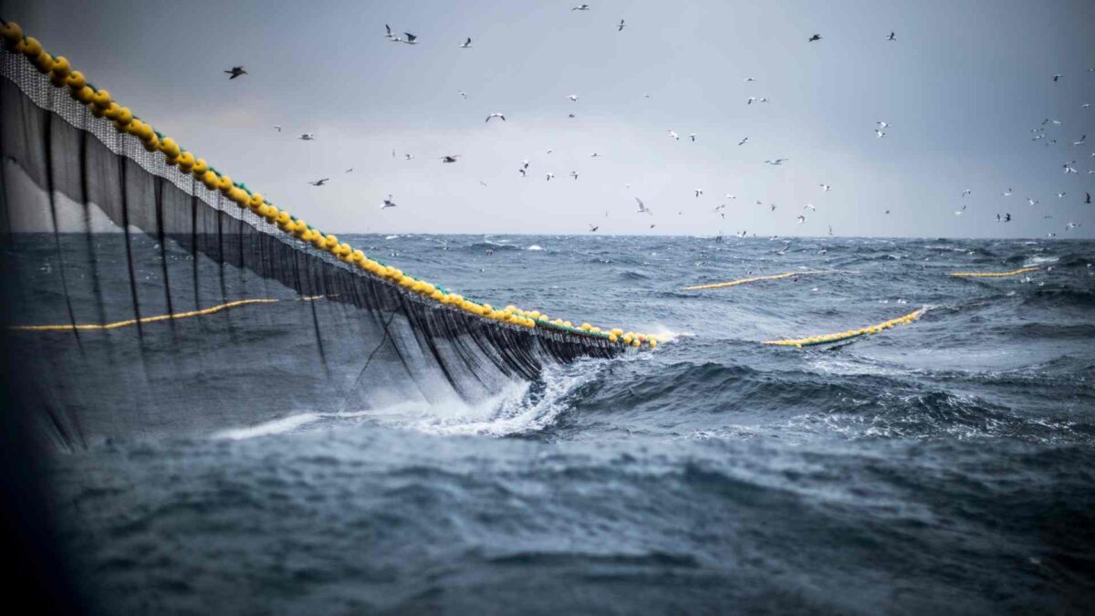
A new peer-reviewed study published in the journal Science reveals that the world’s most strictly protected marine areas successfully prevent illegal industrial fishing, countering concerns that many marine reserves are “paper parks” with little real enforcement.
The global analysis combined satellite imagery with artificial intelligence to detect fishing vessels, including those that often evade tracking systems. Researchers examined 1,380 marine protected areas (MPAs) and found that nearly 79% had no commercial fishing detected. Of those MPAs where some fishing was observed, 82% recorded less than 24 hours of fishing activity per year.
The study also showed that fully and highly protected MPAs had nine times fewer fishing vessels per square kilometre than unprotected coastal waters. Notable exceptions where some fishing occurred include the Chagos Marine Reserve, South Georgia and South Sandwich Islands, and the Great Barrier Reef Marine Park, each with around 900 hours of fishing annually.
Lead researcher Enric Sala, a National Geographic Explorer in Residence, said the findings confirm that strict protections boost fish populations inside reserves, which in turn benefits fisheries outside those areas. “The fishing industry benefits from following the rules,” he said.
Illegal fishing remains a major global issue, threatening ocean ecosystems and fishing economies. This study demonstrates that strong marine protections restore marine life, improve local fisheries, create jobs, and increase resilience to environmental change—benefits that diminish sharply in areas with weaker protections.
The researchers used data from GPS tracking systems on fishing vessels alongside radar satellite images, processed with AI models developed by Global Fishing Watch. This approach captured nearly all vessels over 15 metres long, including so-called “dark vessels” that typically operate without broadcasting their position.
Co-author Juan Mayorga said, “By combining satellite data and AI, we can now monitor fishing activity much more effectively, especially in the world’s most important protected areas.”
The analysis revealed that relying solely on vessel tracking signals misses almost 90% of fishing activity detected by satellite radar in these zones, highlighting the importance of advanced monitoring tools.
Lead author Jennifer Raynor, a professor of natural resource economics, noted that satellite monitoring can help countries target patrols efficiently, saving resources while improving enforcement.
Previous studies show that marine protected areas increase fish catches near their boundaries by 12% to 18%, benefiting fisheries beyond their borders. Sala emphasised, “Fully and highly protected marine areas discourage illegal fishing and deliver greater benefits, including more fish for surrounding waters.”
Share this WeathÉire story:

