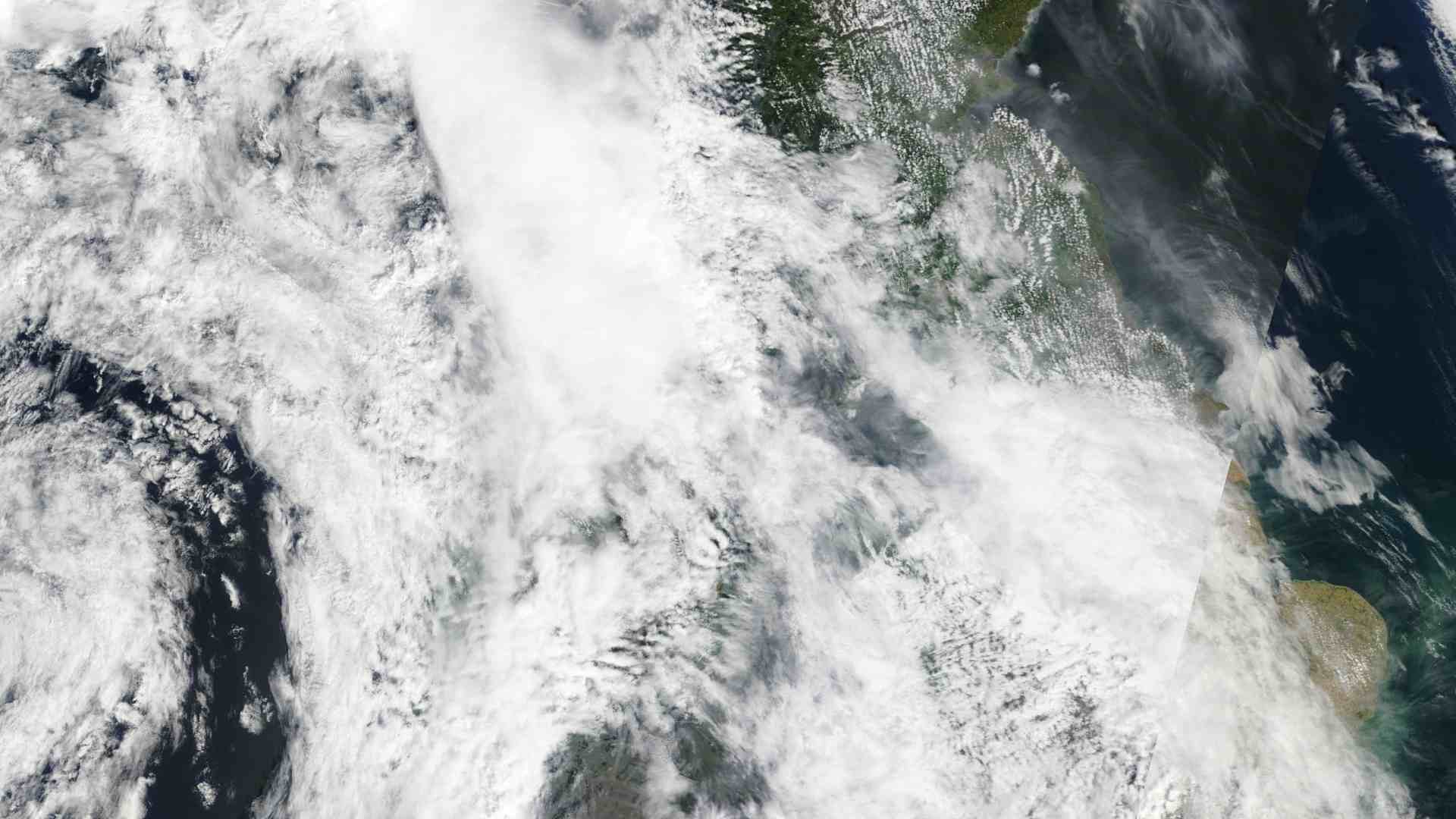
Ireland enjoys nearly three weeks of clear skies

Largely clear skies have persisted over Ireland since the end of April.
Satellite images of Ireland during the 19 days since the warmest April day on record in Ireland (25.9c in Athenry, 30 April) shows a rare streak of successive days of clear weather.
High pressure has been centred over or close to Ireland for the period, which has delivered warm and largely dry conditions.

The coming week will begin with scattered thunderstorms on Monday and Tuesday, followed by largely dry conditions on Wednesday and Thursday.
A slow transition to less settled conditions will begin on Friday and continue through the weekend, as temperatures dip back to the mid to high teens and winds become moderate westerly.
By Friday evening, outbreaks of light rain associated with a weak warm front will extend into the west and northwest, before moving east across Ireland on Friday night and Saturday morning.
Further rain or scattered showers will follow through the remainder of the weekend and into next week, which will bring some relief to struggling reservoirs and soil moisture deficits that have been inhibiting growth in many parts of Ireland.
There will be good dry spells at times next week, but winds will remain moderate westerly or south-westerly throughout.
Share this WeathÉire story:


