Northwest bucks the trend with above average rainfall

After a mostly dry week across the country, Ireland is set for a wetter turn later on Sunday into next week.
Rainfall was well below average for most regions over the past seven days, with just 0–9mm recorded in Leinster and much of Munster and Ulster—less than half the norm. The northwest bucked the trend, with up to 25mm falling there, well above average.
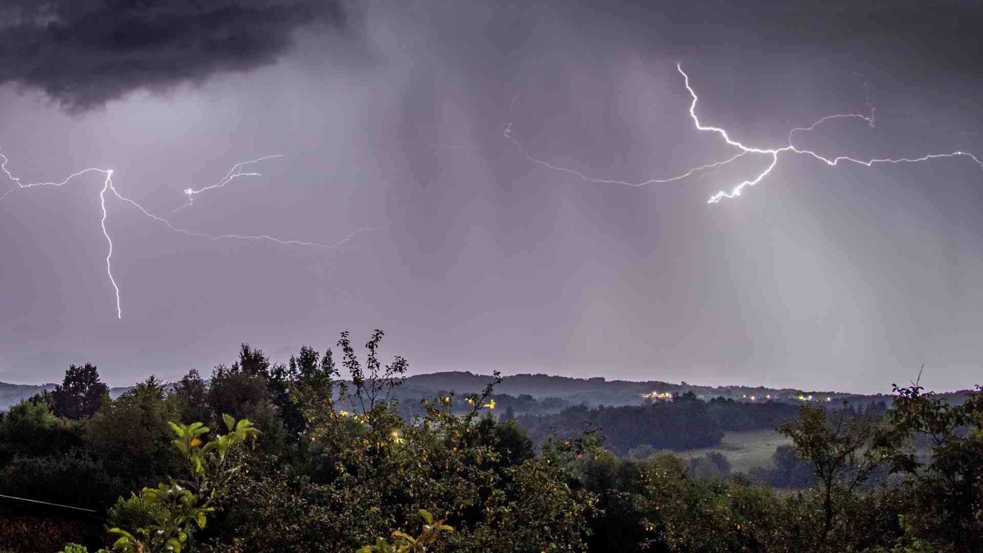
From today through Saturday, expect continued dry weather and decent sunshine—especially away from Atlantic coasts. But a return to rain and showers is on the cards from Sunday into next week, with totals of up to 50mm possible in parts—double the average for mid-July.
Temperature Trends
Air temperatures last week were largely normal, ranging from 13.8°C in the west to 16.8°C in the south. This week looks warmer, with highs pushing 20°C and mean temps set to run 1–3°C above average. Soil temperatures are also on the rise—good news for growth in drier areas, according to Met Éireann.
Sunshine & Spraying
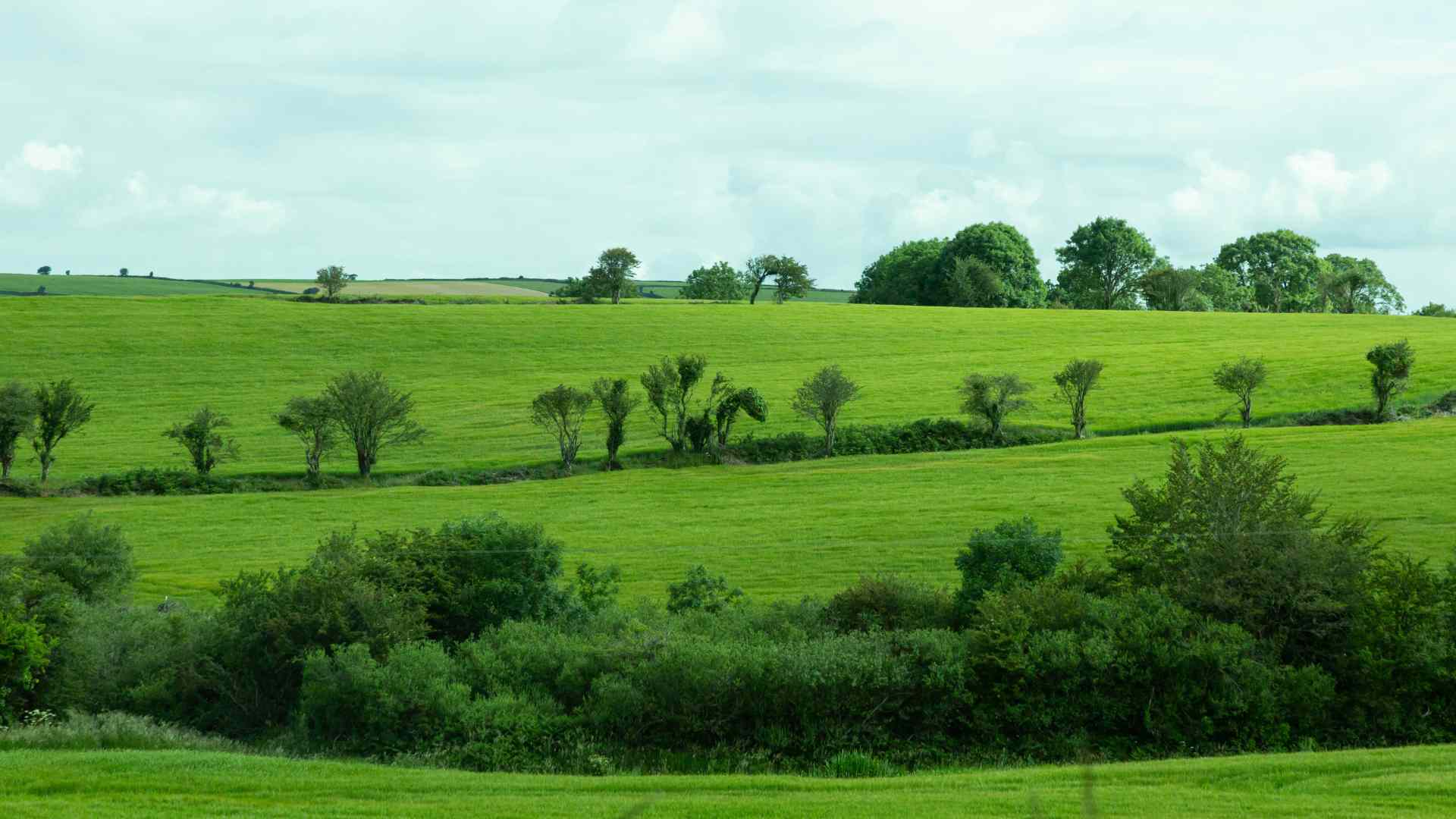
Sunshine was hit and miss last week, with Belmullet seeing the least (just 14.4 hours) and Cork Airport the most (nearly 60 hours). Expect brighter days until Sunday, followed by duller skies into next week. Spraying and drying conditions will be excellent through the weekend but will slip once the rain returns.
In the Fields
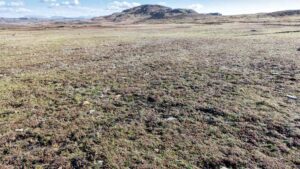
Soils in the west and northwest are struggling, with many waterlogged or close to it. Drier soils elsewhere are seeing some stress, with moisture deficits as high as 60mm in the south. Expect these deficits to rise over the coming days—before the rain sets in and resets the balance.


