Double the sunshine in the east as dry spell persists

The past week has been markedly drier and sunnier than normal across much of Ireland, with the east in particular recording almost twice the average amount of sunshine for the time of year.
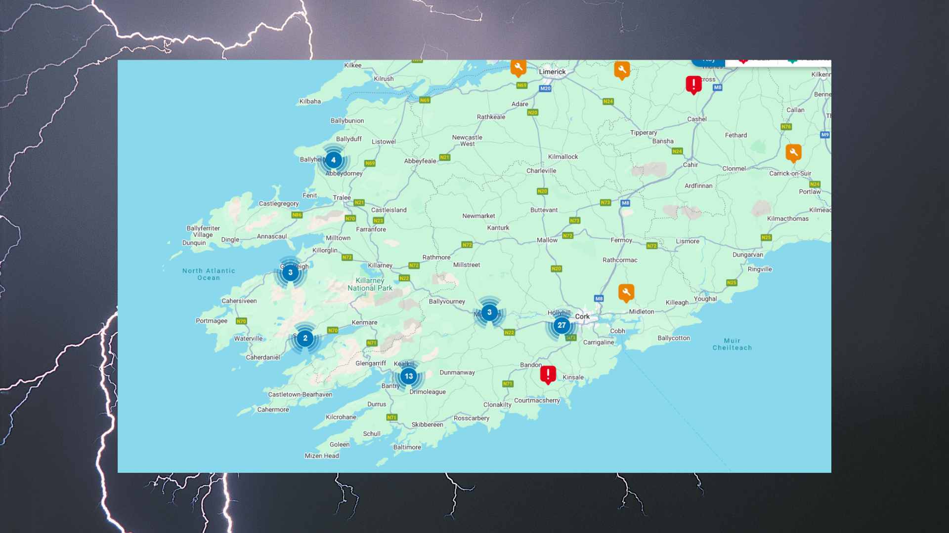
Met Éireann data show that rainfall totals at synoptic stations ranged from just 0 to 33 per cent of normal. No rainfall was recorded at Gurteen, Co Tipperary, while Valentia in Co Kerry received the highest amount, with only 8.5mm measured there. The week ahead is expected to remain much drier than average, though further showers are likely today and on Tuesday, especially in the south and southwest, where some may be heavy or thundery and could lead to localised downpours.
Temperatures have also been running well above seasonal norms. Mean air temperatures over the last week ranged between 16.7 and 19.7 degrees, which is 1.7 to 4.4 degrees higher than average. Soil temperatures were also significantly above normal, ranging from 16.8 to 20.9 degrees, or 3.2 to 5.5 degrees higher than the long-term mean. While conditions will cool slightly in the coming days, temperatures are still expected to remain 1 to 2 degrees above average nationwide.
Sunshine levels were notably high across the country, with totals ranging from 107 to 195 per cent of normal. The brightest conditions were in the east, where 62.4 hours of sunshine were recorded at Casement Aerodrome in Co Dublin. By contrast, Cork Airport logged just over 39 hours. Met Éireann expects further bright spells in the coming week, with sunshine amounts again likely to be above normal, though broken at times by cloudier intervals.


